Field Operations
Software for coordinating agricultural field operations. Organize fields, tasks, inspections, evidence, and reports in one application.
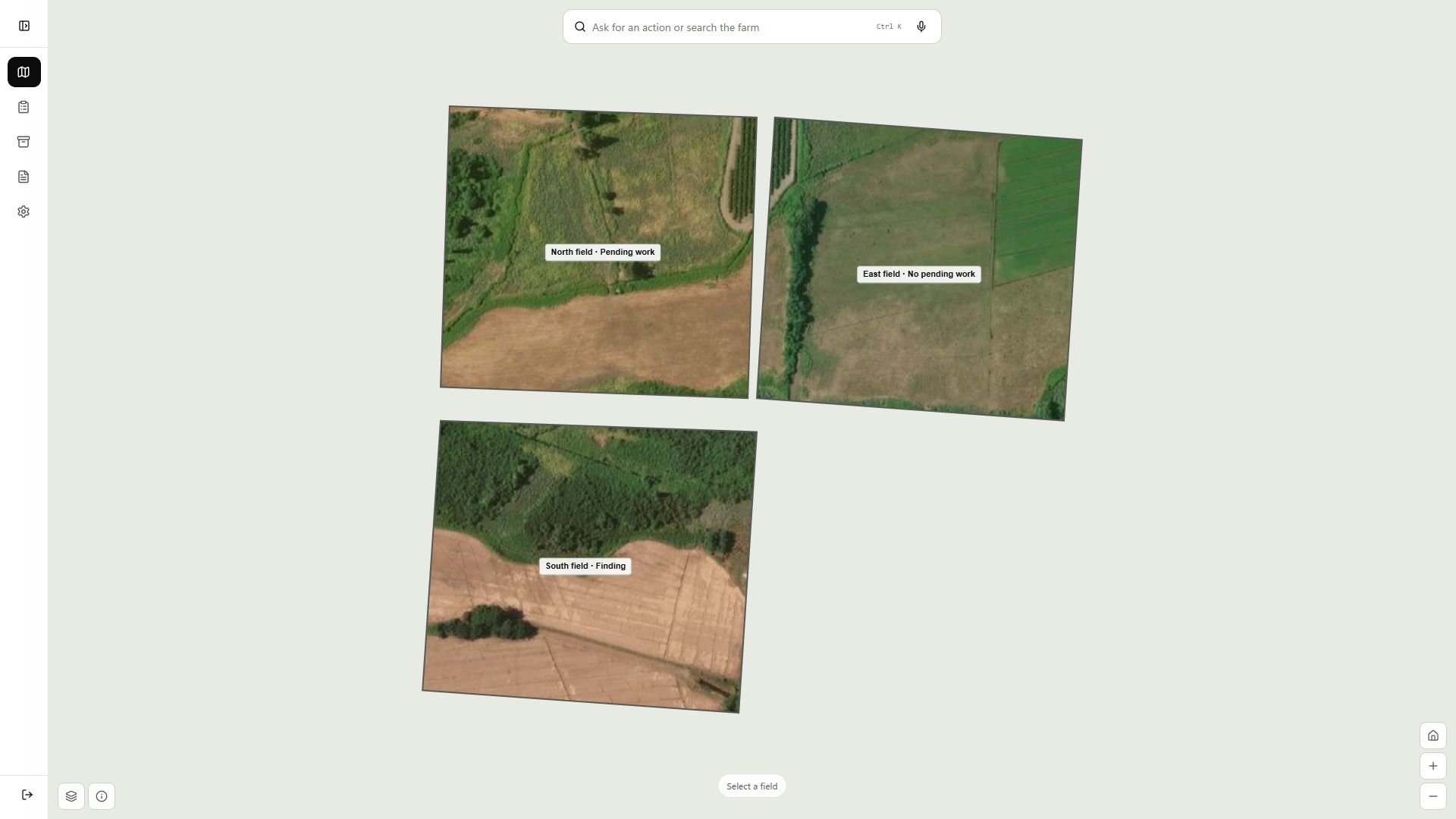
The map brings each field’s work together.
It shows what is pending, what is complete, and where a finding was recorded. Open a field to review its tasks, inspections, files, and reports in context.
The people coordinating the farm work from the same information and can review what happened without searching through separate messages.
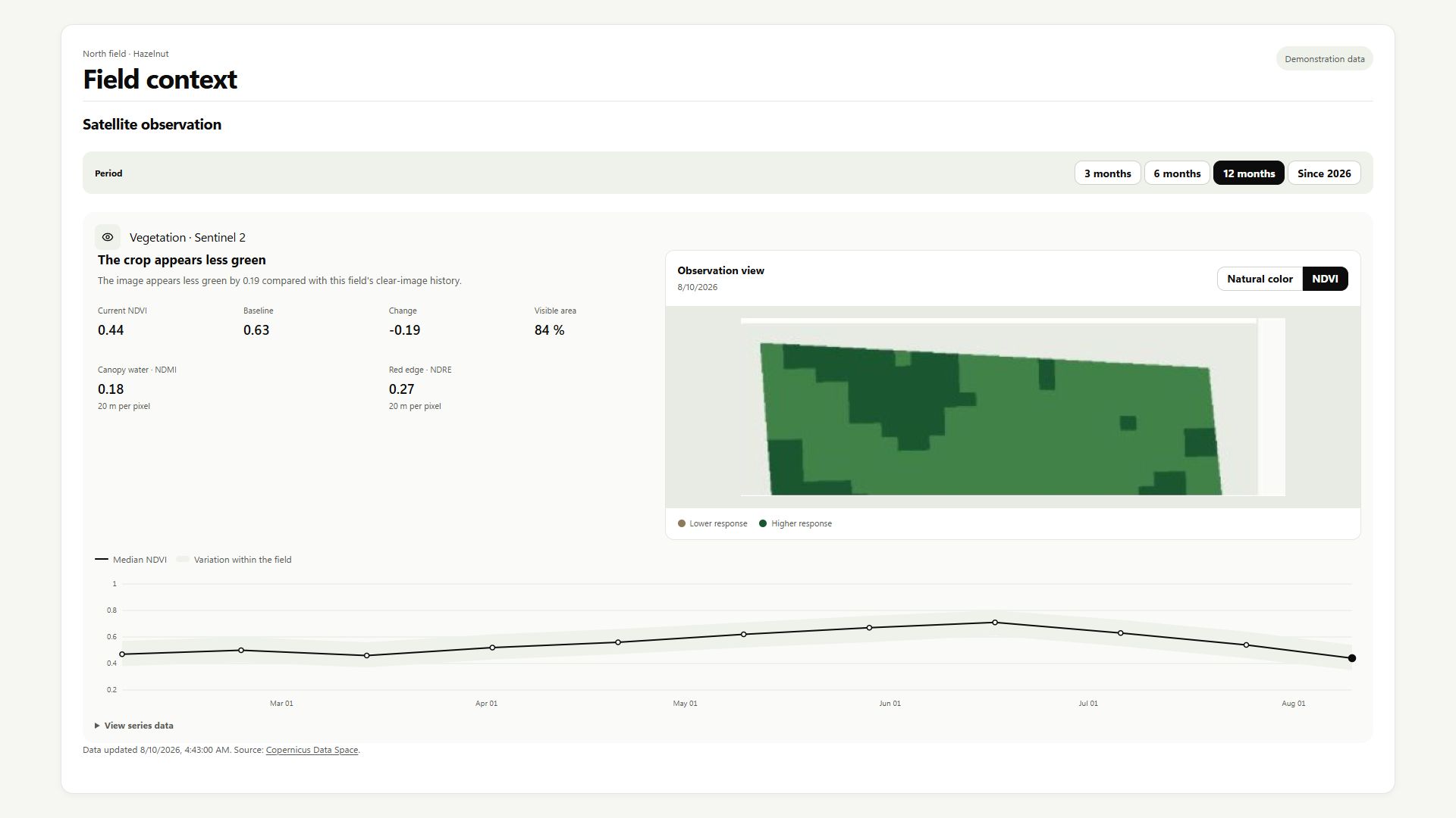
Review how the field has changed.
Satellite imagery shows the date, visible area, and recent changes. It helps the team decide where to look in the field, but it does not explain the cause or decide what to do.
Keep what happened.
Photos, audio, and documents stay with the work.
When Hektara prepares text from a file, a person reviews it before adding it to a confirmed record.
Try Field Operations with your team.
You can open the application or tell us how your team coordinates field work today.
New tasks and evidence waiting to be sent stay on the device and are delivered when the connection returns.